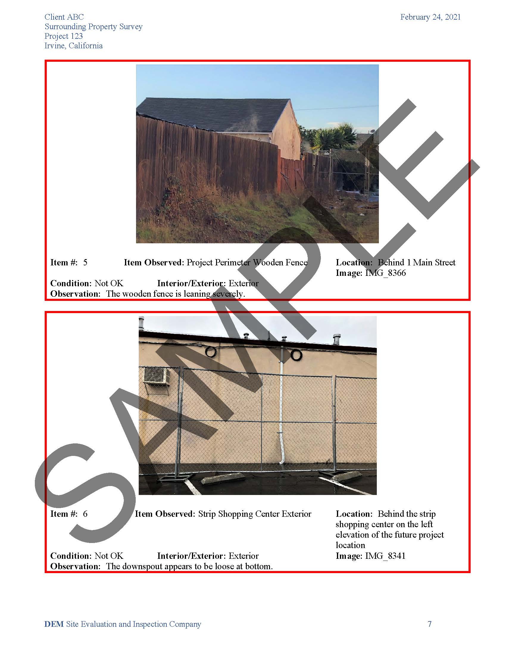
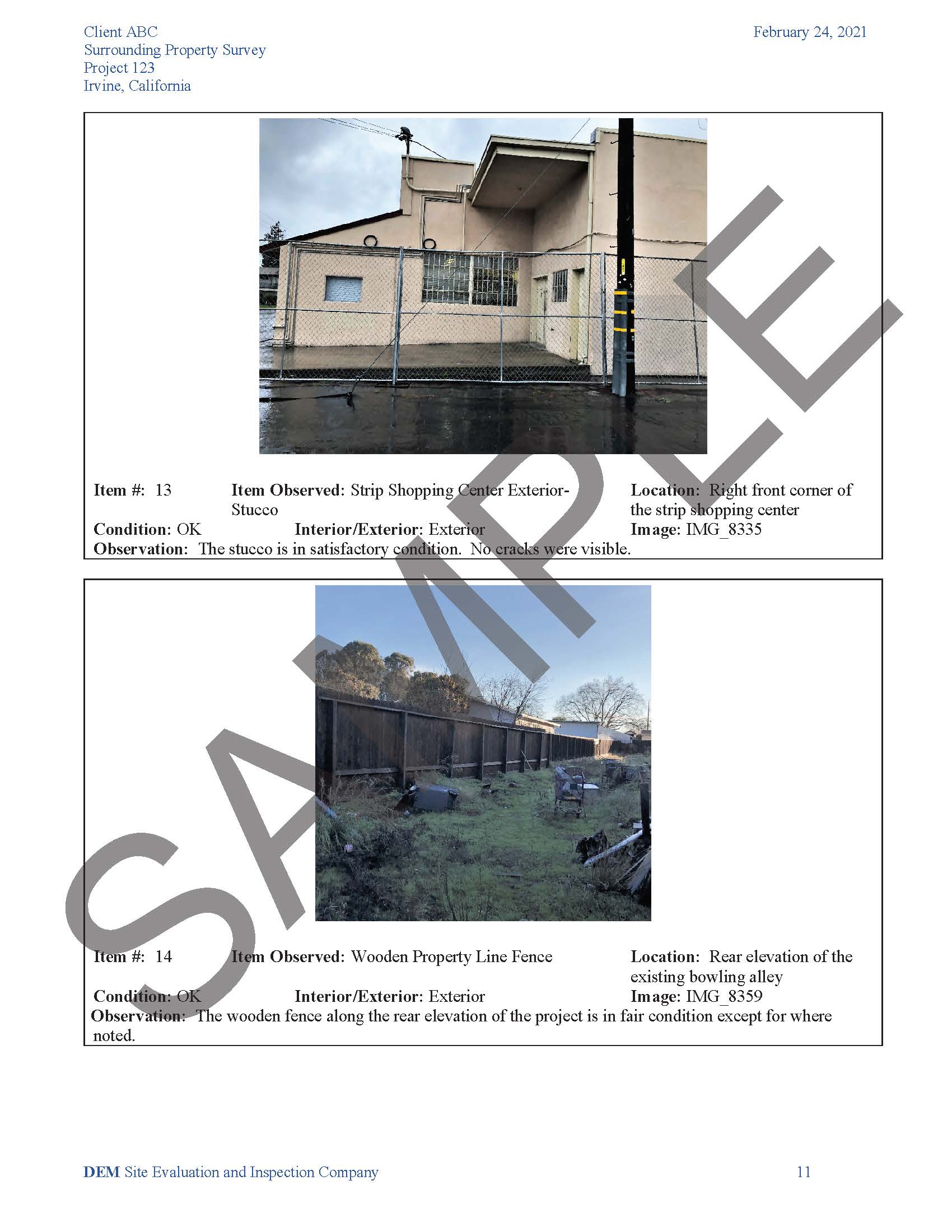
Surrounding properties surveys examine neighboring properties before commencement of demolition and/or major construction at the project site. Observations are made and reported to the Client on the physical condition of these neighboring structures and certain site improvements on those properties adjacent to the project site to mitigate possible meritless claims. The report documents any existing conditions and defects observed in the adjacent structure(s) as well as any observed deferred maintenance that may contribute to the continued deterioration of an existing structure.
Inspectors perform visual, non-invasive, non-destructive inspections of the building interiors and/or exteriors, fences, retaining walls and accessory structures on the adjacent properties. Our documentation of the surrounding buildings opine on wall finishes, decks/balconies, windows and doors, trim, exterior stairways, and roofs (as viewed from ground level). We document all conditions of exterior hardscape, sidewalks, garages, carports, outbuildings, and retaining walls on these properties. Photographs and video are taken to illustrate typical conditions and existing damage and/or defects.
Once construction has completed, Pacific InterWest performs a follow-up survey to observe the physical condition of the same neighboring structures previously surveyed. Observations are made and reported to the Client on the existing conditions and defects observed in the adjacent structure(s). PIW also compares the pre-construction observation findings to the post-construction conditions to identify any possible new damage. In the event that an adjoining property owner makes a claim for damages for construction-related activity, the reporting can be used to verify when the damage occurred, prior to or during construction.
PIW also offers aerial drone surveys of the surrounding properties or of the current conditions along the property line surrounding the future project site. Using a remote drone, PIW captures photo and video documentation of the fencing and rear yards of neighboring properties along the property line of the future project. The inspection proceeds with video of the exterior yards of the neighboring properties in a pattern designed to provide video coverage of the property line and exterior improvements.
The video capture is high-definition 4K video at 60Mbps for archiving purposes and 1080P video for electronic transmission. The videography is provided to the client electronically following the survey. The remote UAV pilot is FAA-certified with a UAS rating in compliance with the FAA Part 107 rules.


